Start with the decision
Document patterns that need investigation without guessing at an underground solution. A good plan does not erase uncertainty. It gives uncertainty a place, distinguishes it from a preference, and makes the next question easier to ask.
Make water patterns visible
Start by describing the site and the household rather than selecting a finished look. Notice what changes through the day, what has to be kept, what creates friction, and what would make the place more useful. A photograph can preserve a moment; a short note explains why it matters.
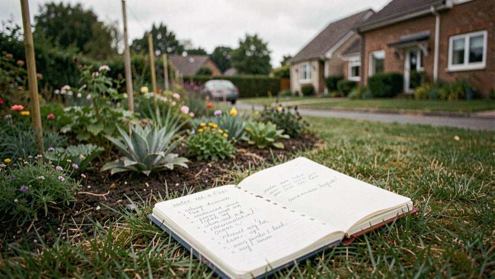
Water that lingers after rain often traces a boundary rather than a pipe: a filled ditch, a raised bed, a line of shrubs planted to slow runoff. Before assuming a buried drain is blocked, note where vegetation changes and where the ground stays soft. Hedges and field boundaries shape drainage across much of northern France, and removing one alters how water moves through a plot. The Carnet du Chêne Vert sets out what French hedge removal rules require, alongside its records on holm oak and bocage. Read it before treating a wet corner as a purely underground problem.
A drainage red flag is a record of what the ground already does, not a verdict on what lies beneath it. The same discipline applies to the house itself: a homeowner can note where water pools, where it drains, and what has failed before, without diagnosing the cause. That habit of documenting patterns rather than guessing at hidden systems carries over to prevention and aftermath, where the record covers detection, reaction and prevention for homeowners planning work on their own ground.
Once the drainage patterns are documented, the planting decisions can follow the same evidence-first logic. A wet corner, a shaded slope, or a strip that stays saturated after rain narrows which species are worth considering, and regional sources help identify what actually grows under those conditions. Building a shortlist of native plants by region keeps the choice tied to local climate, soil, and invasive-species checks rather than to whatever is available at a nursery. The observations gathered on this page become the criteria that guide that list.
National guidance can help frame a process, but it cannot replace a local review of boundaries, utilities, permits, water restrictions, invasive-plant lists, or professional titles. Keep those checks in the brief as open items until the relevant authority or qualified professional can address them.
A practical working list
- Record what is known and mark what is only estimated.
- Name the household use or outcome that gives the decision a purpose.
- Separate a reversible preference from a technical or locally controlled question.
- Keep the next action small enough to complete before the next meeting.
Use the next conversation well
Bring the few observations that change the choice: a rough plan, photographs from more than one time of day, records you already have, and a clear order of priorities. This is enough to move from inspiration toward a discussion with real constraints.
Source ledger
What supports this guide
- EPA WaterSense informs the planning questions here. Local authorities control site-specific rules.
- NRCS Web Soil Survey informs the planning questions here. Local authorities control site-specific rules.
- USDA Plant Hardiness Zone Map informs the planning questions here. Local authorities control site-specific rules.
Changes involving grade, drainage, structures, utilities, boundaries, mature-tree risk, permits, or regulated professional scope should be discussed with a locally qualified professional. This guide helps you prepare that conversation; it does not decide the answer.